Remote Sensing
REMOTE SENSING OF THE EARTH FROM SPACE
Sensing the atmosphere and surface of Earth from orbiting satellites is a growing field for scientists in military as well as environmental applications. Important information can be gleaned from images that are taken across the electromagnetic spectrum, with visible and IR being the most important. Researchers in this field learn about geography, positions of military installations and targets, and about the atmosphere of Earth and how it changes. Polarization is an important piece of additional information above and beyond physical images and spectroscopic information.
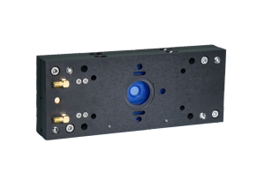
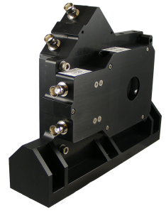
Hinds PEMs have been ruggedized to fly in aircraft and spacecraft to support polarization imaging studies. In one project incorporating a Hinds PEM, we have achieved TRL 7 in the “Technology Readiness Level” scale defined by NASA. Hinds PEMs can be custom fitted to many extreme environments.
SUGGESTED PRODUCTS
FURTHER READING:
Contact us for any custom ruggedization requests.

